- Starting Point
- Type of Trail
- Distance
- Duration
- El Palmar (Los Pedregales).
- Linear
- 10.7 Km
- 4.18 H
- Ending Point
- Dificulty
- Elevation
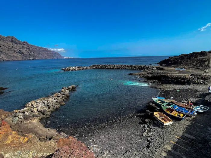
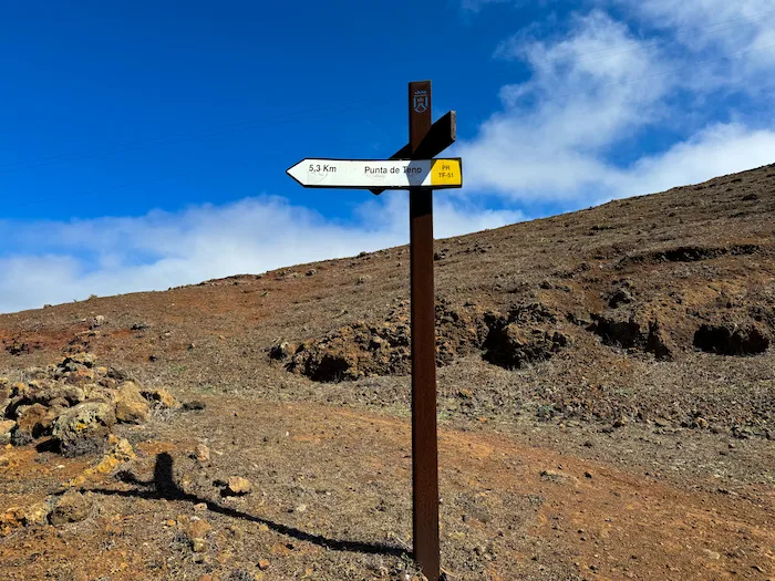
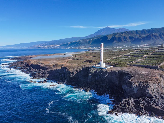
- Punta de Teno
- Moderate
- 368 m
Route Highlights
-
Walk along a historic camino real once used to connect Teno with the rest of the island
-
Pass through laurel forest, farmland, and remote mountain terrain
-
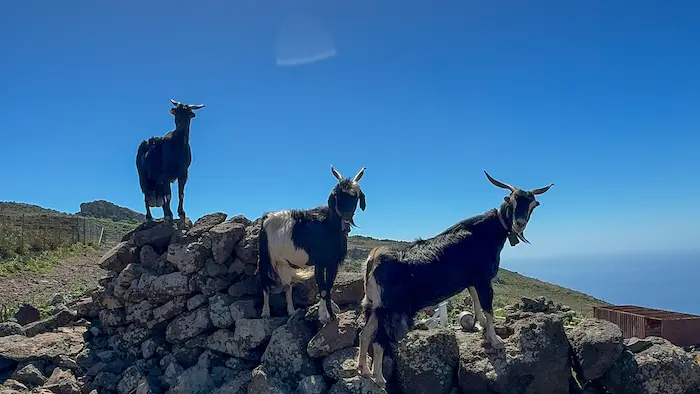
Explore Teno Alto, a small village known for cheese and Canarian traditions
-
Panoramic viewpoints at Baracán and Las Cuevas
-
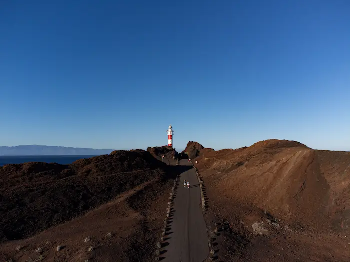
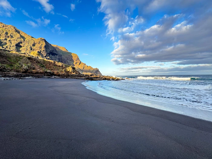
Finish by the sea at the remote coast of Punta de Teno
Information
This one-way hike starts at the Los Pedregales Visitor Centre in El Palmar. The trail quickly climbs up Callejón de Teno, a steep old stone-paved camino real. After reaching Altos de la Cumbre, the scenery shifts into a lush laurel forest and then opens into a rural landscape shaped by farming and livestock.
Soon you reach Teno Alto, a quiet village with stone houses and terraced fields. This remote place still holds on to traditional ways of life. If you have time, stop here to try some local goat cheese or other products from the area.
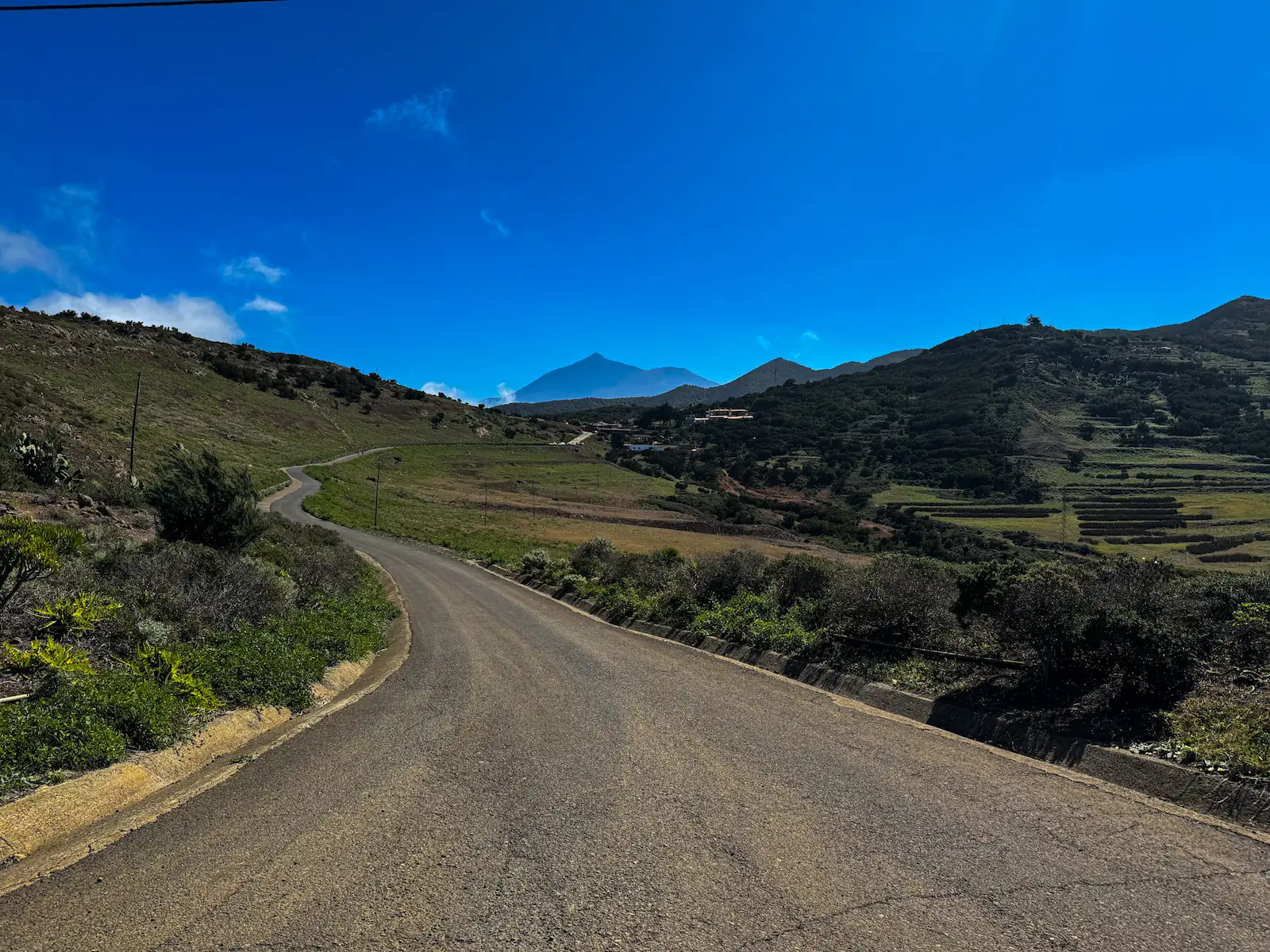
From Teno Alto, follow the Camino a La Mesita, a trail that offers wide views of the Baracán summit and leads to the Baracán viewpoint. Use caution when crossing the TF-436 road — cars move fast.
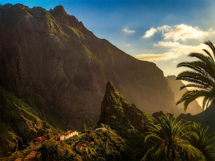
Beyond the viewpoint, the trail curves around Pico Baracán and continues across the highest part of the Teno massif. The landscape changes again — you’ll pass through shady monteverde forest before reaching Finca de Las Siete, a more open and rural area.
Keep walking west toward Los Bailaderos, then skirt Montaña de El Vallado. The trail reaches Las Cuevas, a natural balcony with open views — this marks the start of the long descent to Punta de Teno. The final stretch drops quickly toward the coast and ends near the old tomato warehouses by the Punta de Teno road, not far from the lighthouse.
How to Get Here
The best option is to park your car in Buenavista del Norte, then take the TITSA bus 369 to El Palmar (get off near Los Pedregales Visitor Centre — ask the driver if unsure). This way, you can finish the hike at Punta de Teno and simply take the bus 369 directly back to Buenavista, without needing to return to El Palmar.
Keep in mind:
-
Bus 369 runs a few times per day — check the timetable in advance on the TITSA website or app.
-
The road to Punta de Teno is closed to private cars during most of the day (access by bus or bike only), so this hiking option avoids that restriction.
If you’re doing the hike in reverse (from Punta de Teno to El Palmar), it’s much steeper going uphill — and you’ll need to plan transport to the starting point accordingly.
Discover Places Nearby


All the best places in one map – beaches, hikes, food, ocean pools, viewpoints, towns and more.
Save hours of searching and plan your trip in minutes.
