- Starting Point
- Type of Trail
- Distance
- Duration
- Chamorga
- Circular
- 8 Km
- 4 H
- Ending Point
- Dificulty
- Elevation
- Chamorga
- Hard
- 600 m
Route Highlights
-
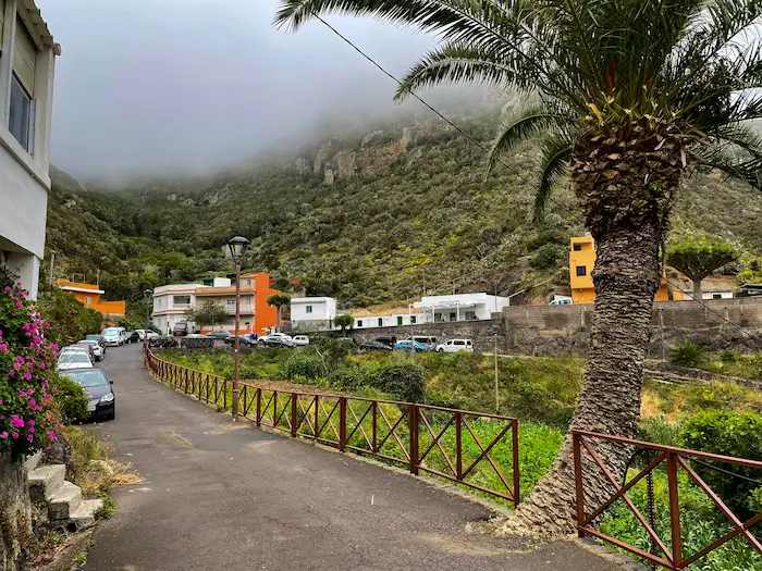
Chamorga – Remote village in Punta de Anaga, surrounded by steep green hills and traditional farmland.
-
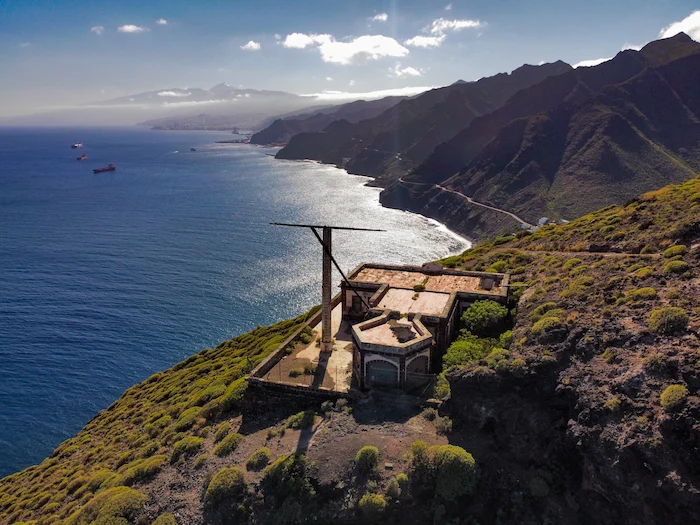
Casas de Tafada – Abandoned stone houses on a ridge with views over the Atlantic and traces of old agricultural life.
-
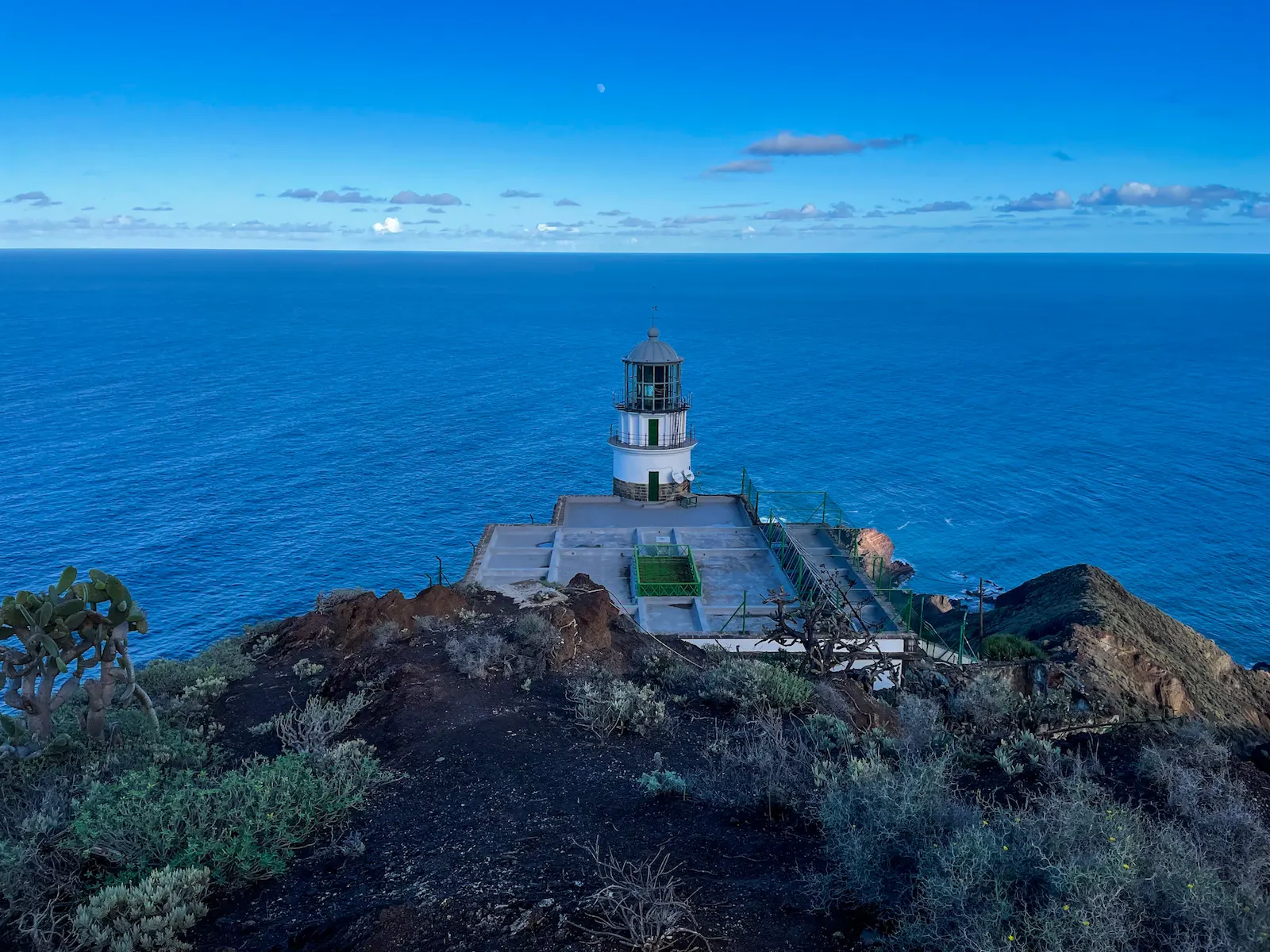
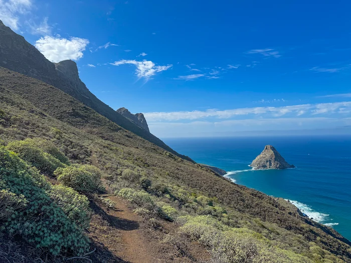
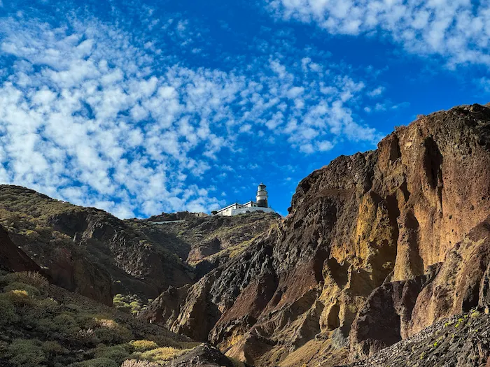
Faro de Anaga – Historic lighthouse from 1863, marking the eastern tip of Tenerife with views toward the Roques de Anaga.
-
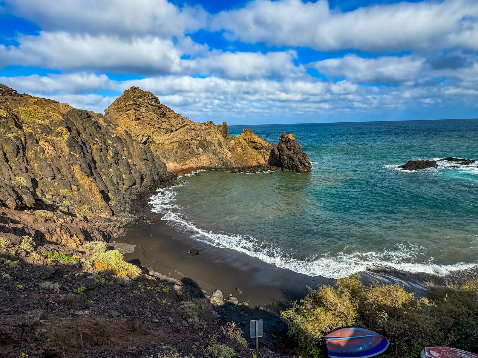
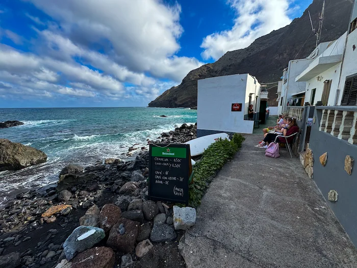
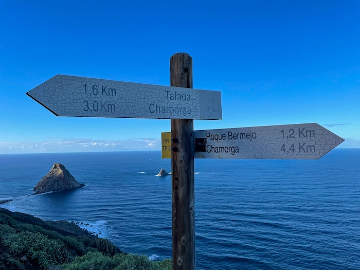
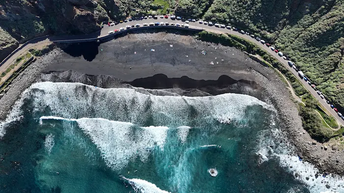
Roque Bermejo – Tiny hamlet by the sea with a small beach, a 1934 chapel, a dock, and only a few houses. Possible swim spot.
-
Casas Blancas – Former summer estate of a La Laguna landowner, located above Roque Bermejo on the return trail.
Information
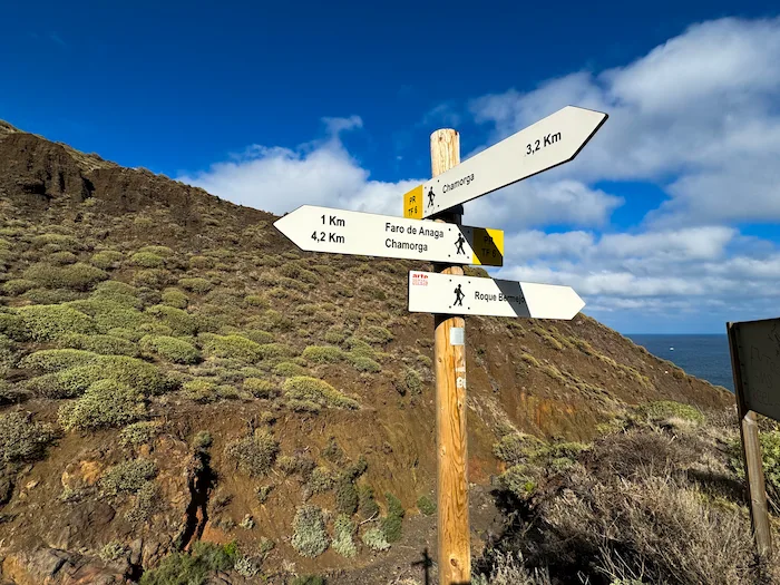
This circular hike takes you through some of the wildest and most remote parts of Anaga Rural Park. Starting in the mountain village of Chamorga, the route climbs to Casas de Tafada, continues to the Faro de Anaga, and descends to the hidden coastal hamlet of Roque Bermejo before returning through a deep ravine. It’s a quiet, rewarding trail filled with ancient forests, dramatic cliffs, and Atlantic views.
From the village, the trail climbs steadily through green hills and traditional farmland. In the first section, you’ll reach Casas de Tafada, a small group of abandoned stone houses with sweeping views over the ocean. From here, the path follows the ridge until it reaches the historic Faro de Anaga, a lighthouse built in 1863. It stands high above the Atlantic and marks the easternmost tip of Tenerife.
From the lighthouse, the trail descends 600 meters down to Roque Bermejo, a small coastal hamlet with only a handful of homes, a beach, and a tiny chapel. If the weather allows, this is a perfect place to swim and have lunch by the sea.
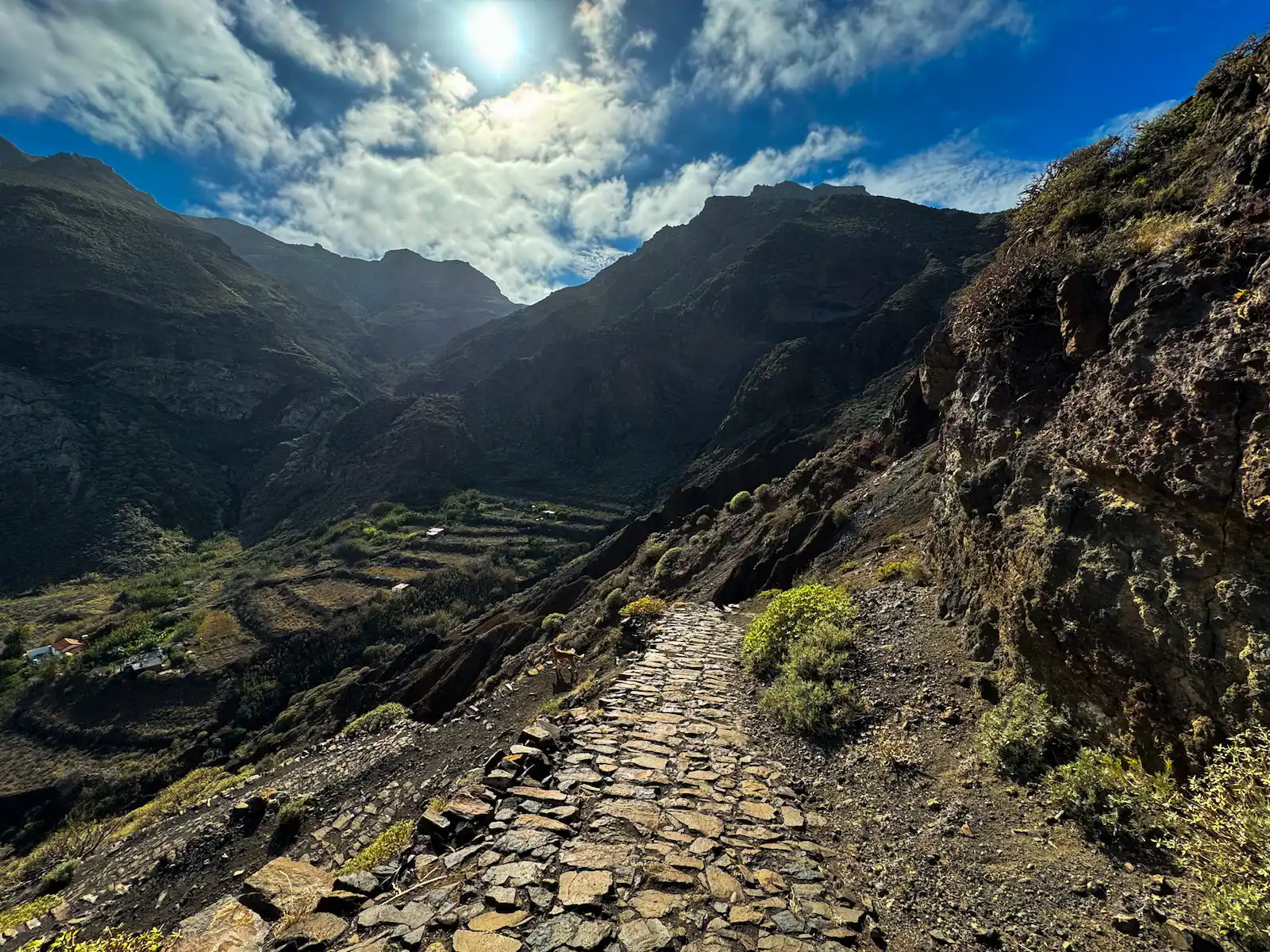
The return climb follows Barranco de Roque Bermejo, a dry ravine that rises steeply back to Chamorga. It’s exposed and hot in the afternoon sun, so bring enough water — there is no shade on this section.
The full loop follows trails PR-TF 6.1 and PR-TF 6, and takes around 4 hours to complete without long breaks. You’ll pass remote homes, agricultural terraces, and volcanic rock formations along the way — all with a deep sense of isolation and quiet.
How to Get Here
By car: Drive to Chamorga (last village on the TF-123). The road is narrow and winding, but paved. Park near the bus stop.
By bus: TITSA Line 947 runs from Santa Cruz to Chamorga, but service is limited. Check timetables in advance.
Discover Places Nearby

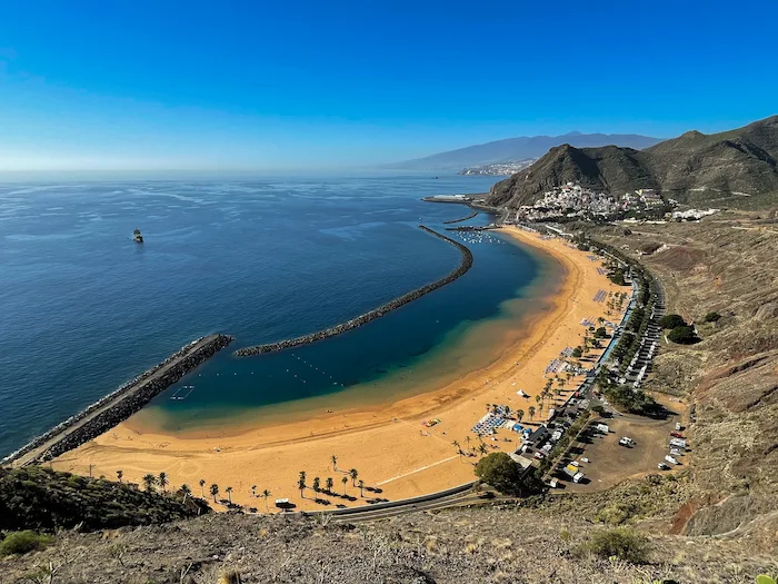


All the best places in one map – beaches, hikes, food, ocean pools, viewpoints, towns and more.
Save hours of searching and plan your trip in minutes.