- Starting Point
- Type of Trail
- Distance
- Duration
- Cañada Blanca Visitor Center
- Circular
- 10 Km
- 4.34 H
- Ending Point
- Dificulty
- Elevation
- Cañada Blanca Visitor Center
- Hard
- 552 m
Route Highlights
-
360° panoramic views: El Teide, Pico Viejo, and the south coast
-
Summit at 2,718 m — the third highest peak in the Canary Islands
-
Historical site: ruins of a 19th-century astronomical observatory
-
Dramatic volcanic landscapes and rare alpine flora
-
Possible views of La Gomera and Gran Canaria on clear days

Information
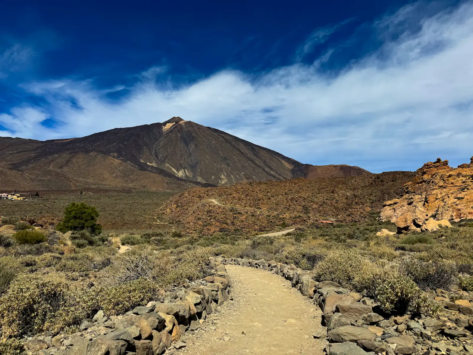
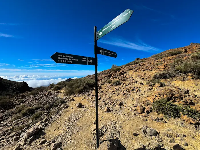
Mount Guajara is a demanding loop trail in Teide National Park. It climbs to one of the best viewpoints on the island, offering wide open views of El Teide and beyond. The trail begins at the Parador de Turismo and can be done in both directions — the counter-clockwise route is recommended. Be ready for altitude, strong sun, and zero shade.
The Mount Guajara loop is one of the most rewarding hikes in Teide National Park. It’s about 11 km long, with over 600 meters of elevation gain. The trail starts near the Parador and is best done counter-clockwise. This way, you begin on the wide and mostly flat Siete Cañadas trail before climbing up through the Degollada de Guajara pass and finishing the loop via the steep but scenic Cumbres de Ucanca descent.
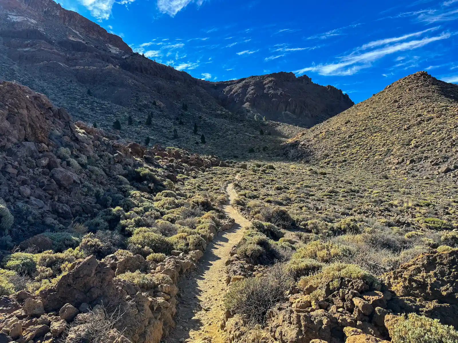
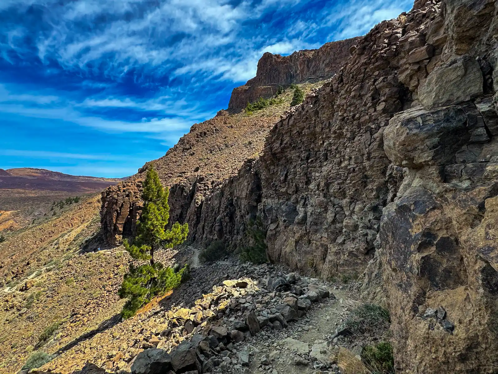
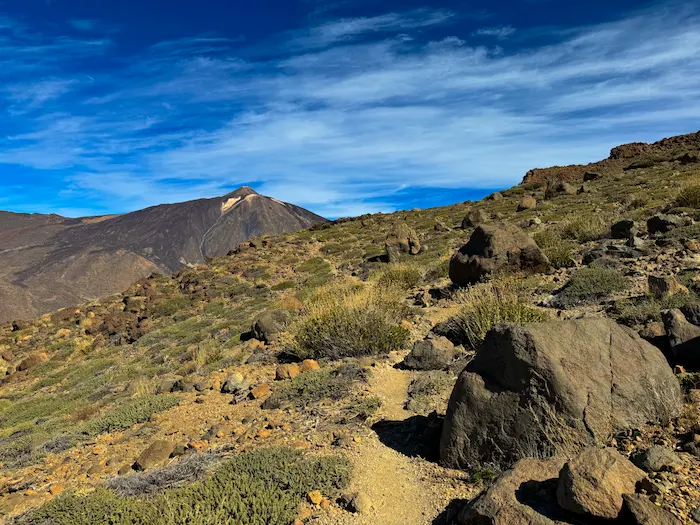
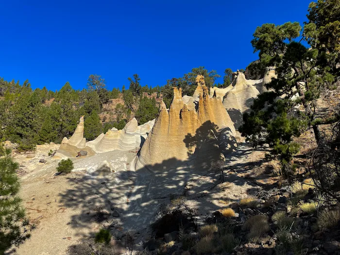
Once you begin the ascent, the landscape changes quickly. The trail zigzags through volcanic rock, pumice fields, and loose gravel. It’s a steady climb with no shade, and the altitude makes it more intense. As you gain height, views open up over Llano de Ucanca, Roques de García, and eventually Teide itself, rising behind you.
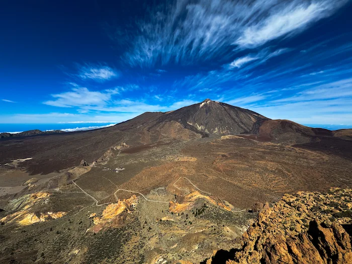
At the summit (2,718 m), the plateau is wide and open. You’ll find the stone remains of an old 19th-century observatory, built by Charles Piazzy Smyth — a key figure in Tenerife’s early astronomy history. There’s space to rest, take photos, and enjoy a full panoramic view over Pico Viejo, Montaña Blanca, the caldera, and sometimes even La Gomera and Gran Canaria.
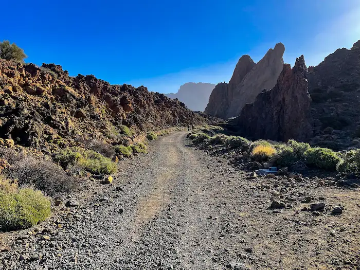
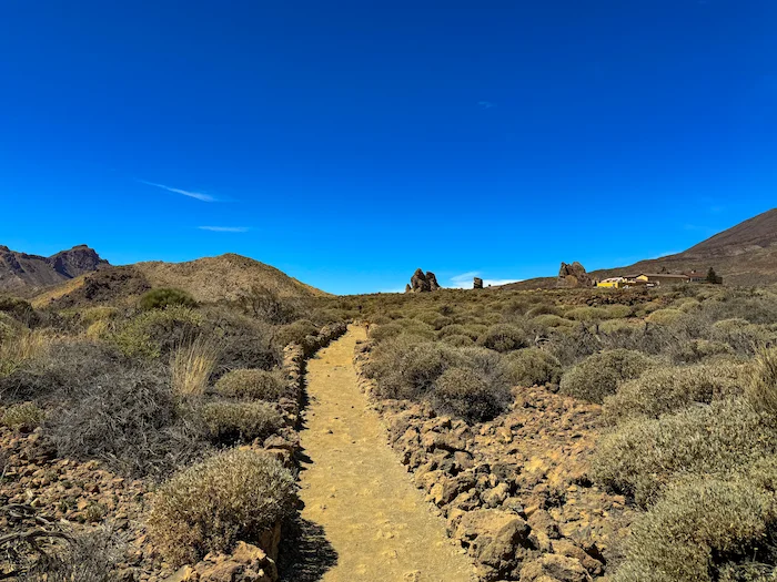
The descent is gradual and scenic. You pass through open highland terrain with views back toward the mountain and across the national park. In spring, the area is covered with tajinaste rojo, retama, and codeso, making it one of the best places to see Teide’s flowering plants. The final section reconnects with the Siete Cañadas trail and leads gently back to the starting point.
There are no water sources or shaded areas along the route, and the terrain is exposed throughout. Good footwear, sun protection, and plenty of water are essential. This trail is not recommended for beginners, but if you’re looking for a high-altitude challenge with views, history, and wild landscapes — Guajara delivers.
How to Get Here
By Car: Free lots are available next to Parador.
By Bus: Bus 342 from Costa Adeje or Bus 348 from Puerto de la Cruz
Discover Places Nearby


All the best places in one map – beaches, hikes, food, ocean pools, viewpoints, towns and more.
Save hours of searching and plan your trip in minutes.