- Starting Point
- Type of Trail
- Distance
- Duration
- Vila Flor de Chasna
- Circular
- 13.4 Km
- 4.42 H
- Ending Point
- Dificulty
- Elevation
- Vila Flor de Chasna
- Moderate
- 672 m
Route Highlights
- Vilaflor: A mountain village at 1,450 m, the highest on the island, once known for wood and water that supported local farming. Today it’s known for almond biscuits baked fresh each morning.
- Pino Gordo & Pino de las Dos Pernadas: Two giant Canarian pines near the trail start; Pino Gordo is 800 years old and 45 m tall.
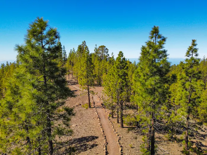
- Camino Real de Chasna: An ancient island-crossing route, now part of the marked hiking trail PR-TF 72.
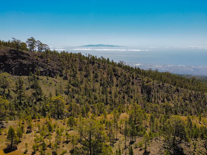
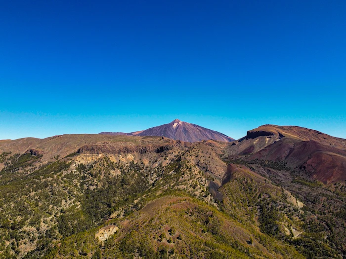
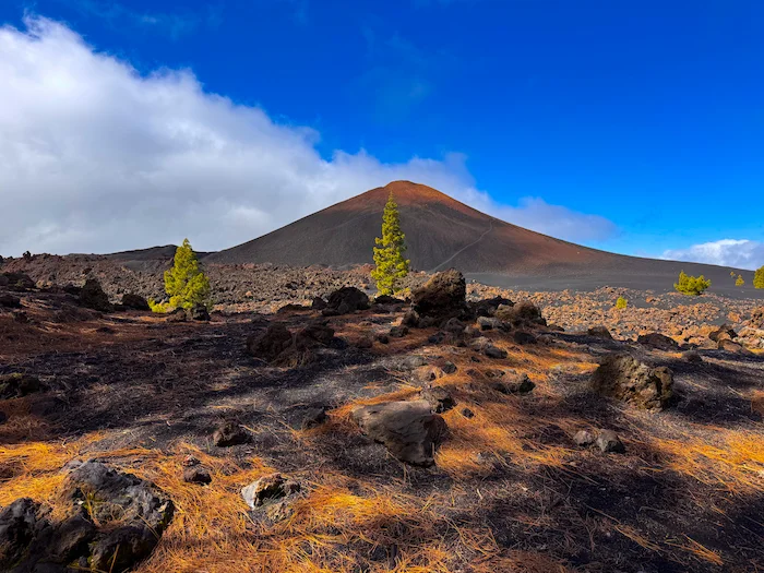
- Corona Forestal: The largest pine forest in Tenerife, home to Canarian pine, tajinaste, and chajora.
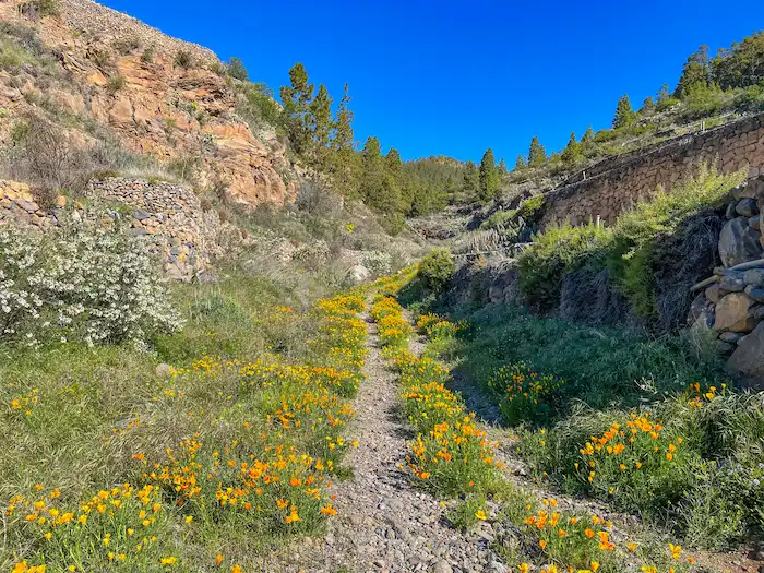
- Casa Galindo: An abandoned rural estate among almond trees, a reminder of the area’s farming past.
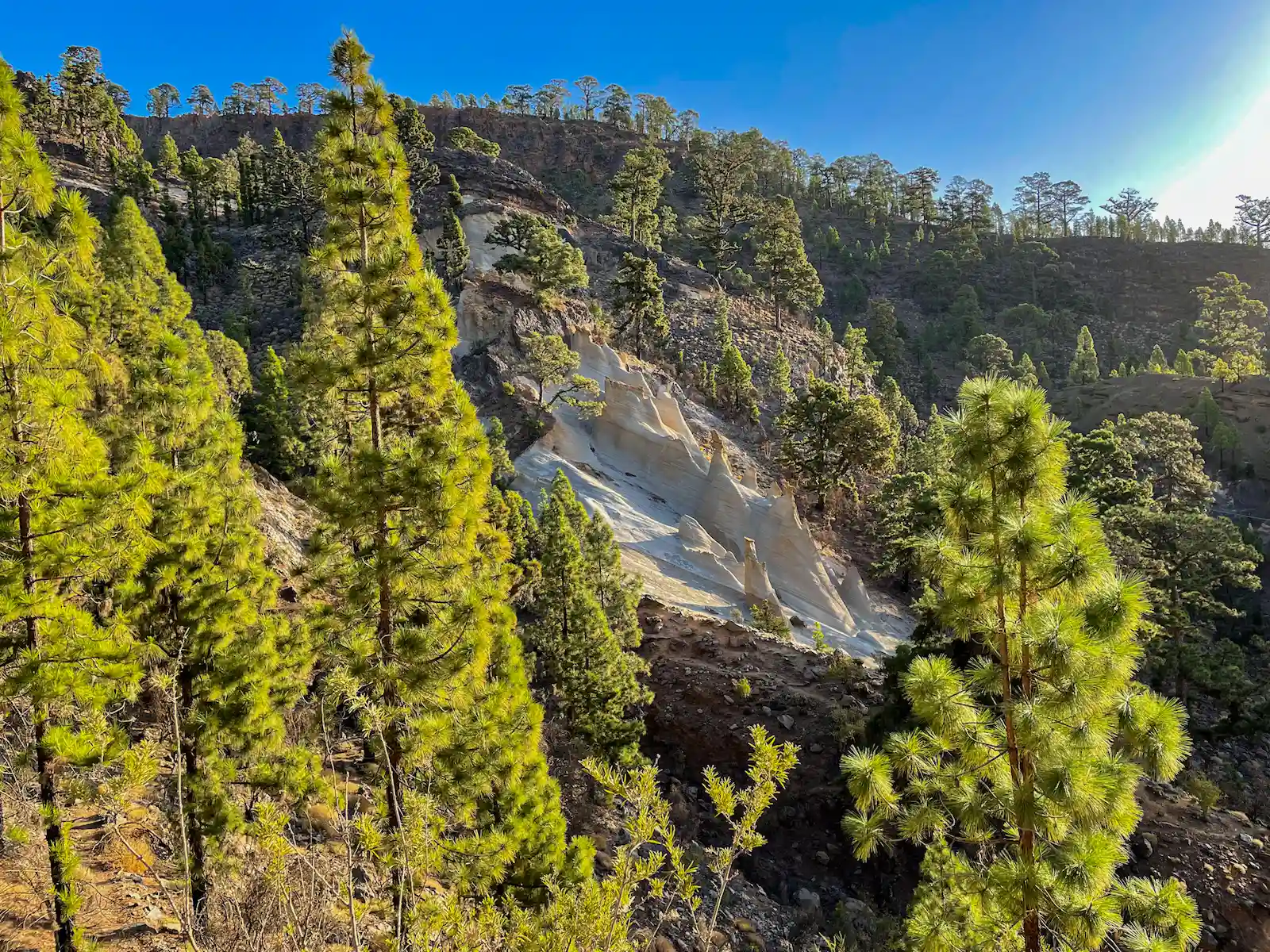
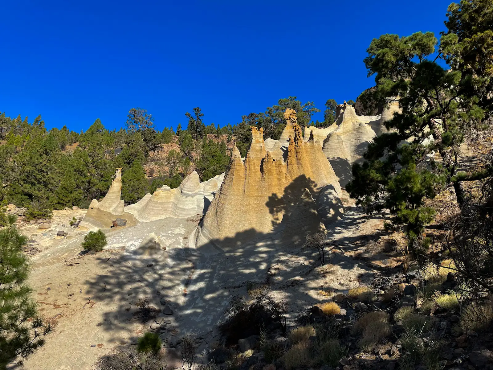
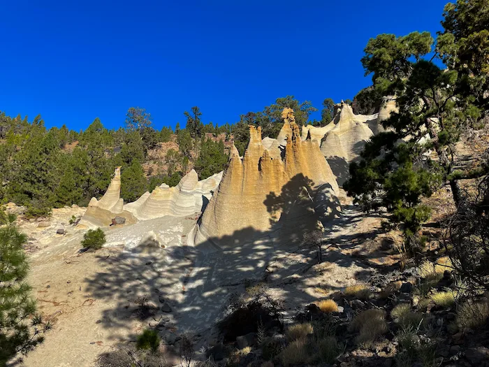
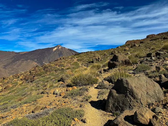
- Paisaje Lunar viewpoint (Los Escurriales): A natural balcony with views of white pumice rock towers.
- Pumice formations: Volcanic rock sculpted by wind and water into chimney-like shapes.
- Birdlife: Blue chaffinches, woodpeckers, and kestrels can be seen along the trail.
- Casa de Los Llanitos: A former shepherds’ shelter used during seasonal grazing in the highlands.
Information
The hike to Paisaje Lunar starts in the mountain village of Vilaflor, the highest village in Spain (1,400 m above sea level). In the morning, the streets often smell like freshly baked almond biscuits, a local specialty. Just outside the village stands one of the largest trees in the Canary Islands – the Pino Gordo, a Canary pine with a trunk circumference of over 9 meters. Parking is available in the village, and there are also buses from the southern coast.
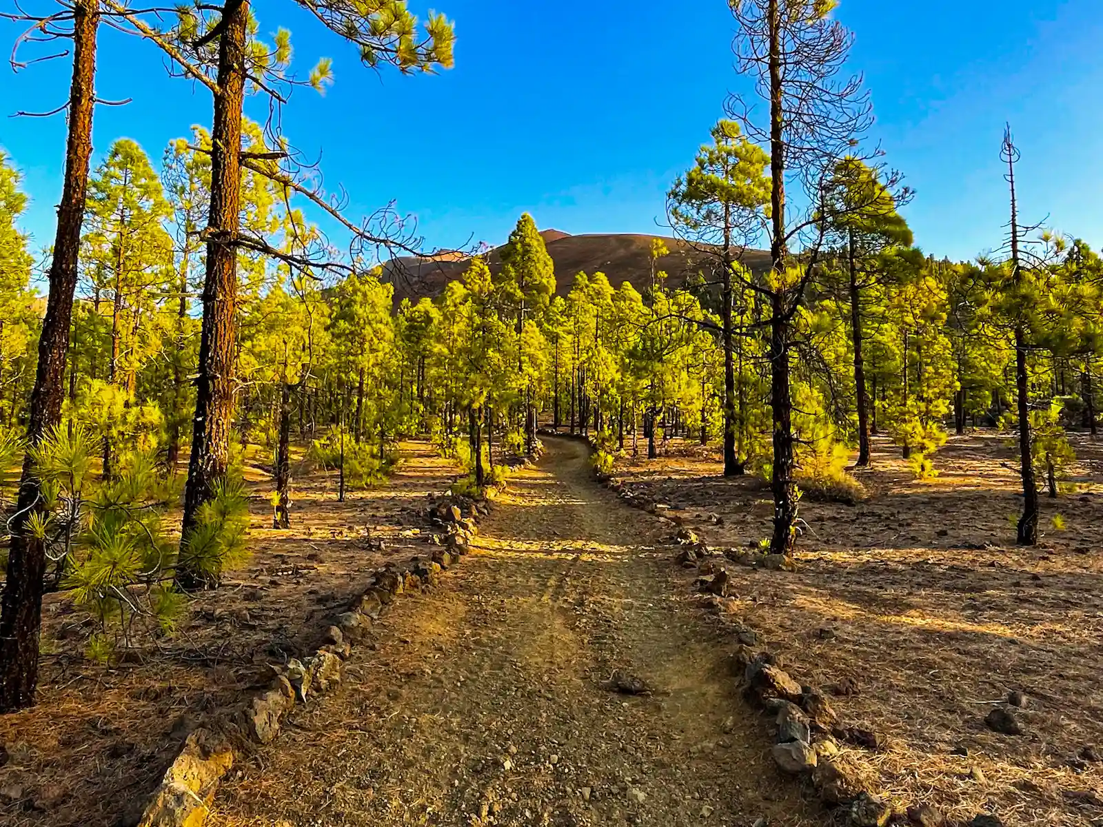
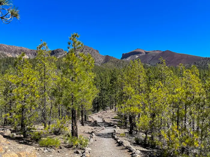
The route follows the marked trail PR-TF 72, which briefly passes through Vilaflor before entering Corona Forestal, Tenerife’s largest forest area. Most of the walk is shaded by Canarian pine trees, an endemic species known for their long needles and resistance to fire. It takes around 2.5 hours of steady hiking to reach the highlight of the trail – Paisaje Lunar.
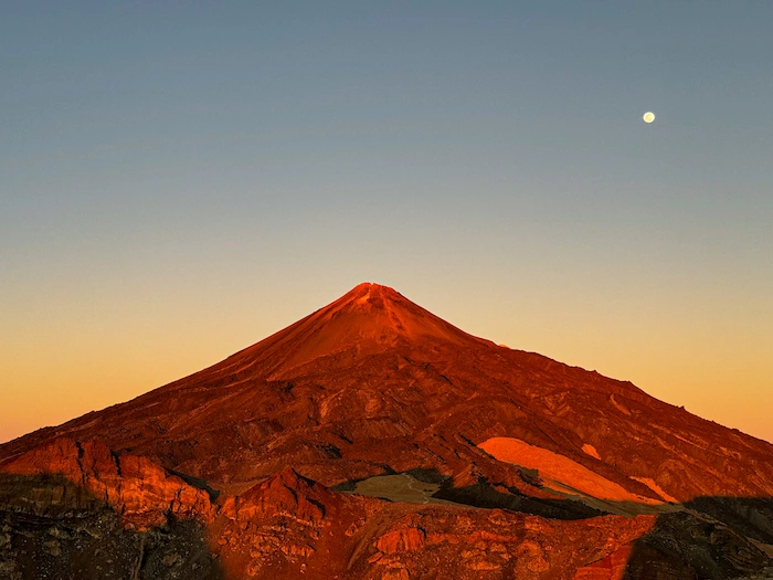
Paisaje Lunar means “lunar landscape,” and the name fits. The light-colored sandstone formations were created by wind and water erosion of volcanic ash over thousands of years. The formations are protected, so it’s not allowed to walk on them, but the official trail offers a great viewpoint.
The return route also goes through the forest, but on a different path, making it a loop trail. The full hike is about 13 km long and takes 4–5 hours to complete. The total elevation gain is around 550 meters, but the climb is gradual and not too demanding. Because of the altitude (around 2,000 m), the hike can feel a bit more tiring than usual. In summer, it gets hot during the day, even in the shade. In winter, mornings can be quite cold.
There are no water sources or food options along the trail, so make sure to bring enough with you.
How to Get Here
By car: Take the TF-21 road from the south (via Granadilla de Abona) or from the north (via La Orotava, through Teide National Park). The road is well maintained and easy to follow. There’s free parking in Vilaflor near the church and town square.
By bus: From the south, take TITSA bus 482 from Los Cristianos or bus 474 from Granadilla. Both stop in Vilaflor. The stop is in the center of the village, close to the start of the trail.
Discover Places Nearby
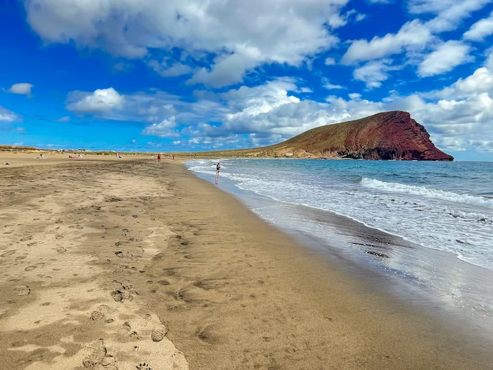


All the best places in one map – beaches, hikes, food, ocean pools, viewpoints, towns and more.
Save hours of searching and plan your trip in minutes.