- Starting Point
- Type of Trail
- Distance
- Duration
- Mirador de las Narices del Teide
- Linear
- 11.4 Km
- 6 H
- Ending Point
- Dificulty
- Elevation
- Teide Peak
- Hard
Route Highlights
- Walk through the aligned volcanic vents of Las Narices del Teide from the 1798 eruption
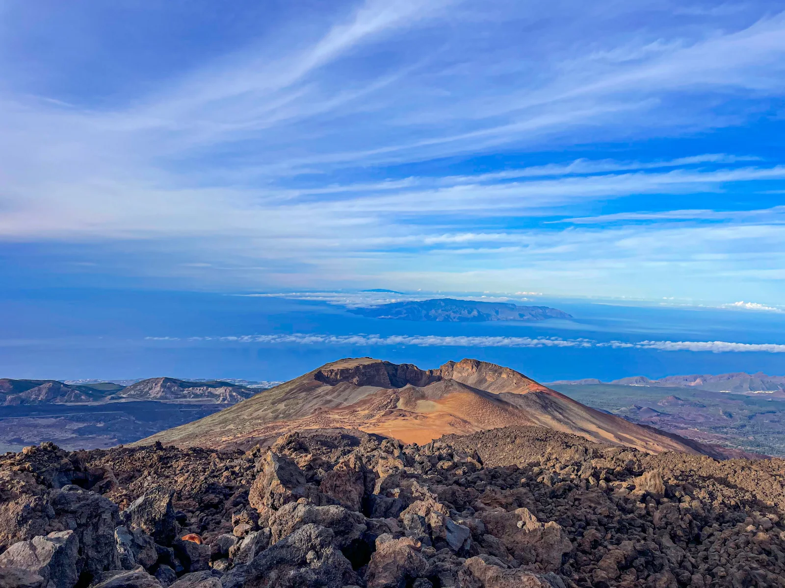
- Climb gradually through dark lava fields with wide views toward La Gomera and the southwest coast
- Approach the huge Pico Viejo crater (800 m wide), part of the Teide–Pico Viejo volcanic complex
- Traverse the pumice zone of Degollada de Chahorra, where the terrain becomes smoother
- Hike among volcanic “eggs” — round lava formations created during older eruptions
- Spot high-altitude plants like retama, Teide daisies, and other species adapted to volcanic soil
- Notice the occasional Teide beetle (Pimelia ascendens) in spring and early summer
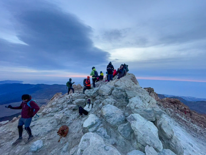
- Reach La Rambleta (3,555 m) and see fumaroles and sulphur vents near the upper station
- Take the Teide cable car down, ending the hike with a fast descent back to the base
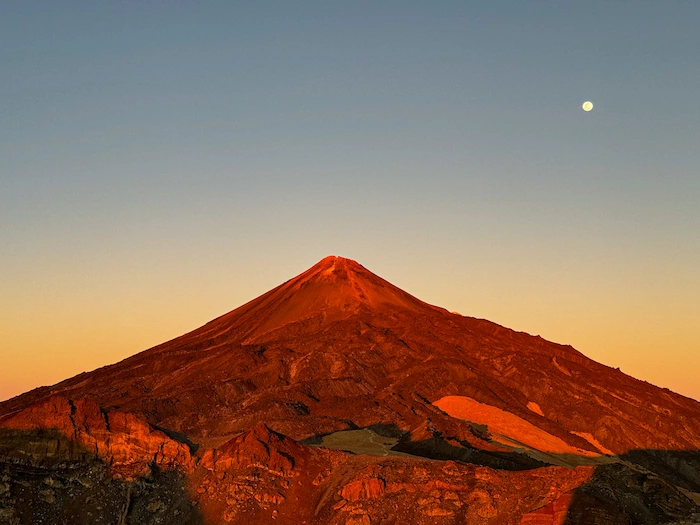
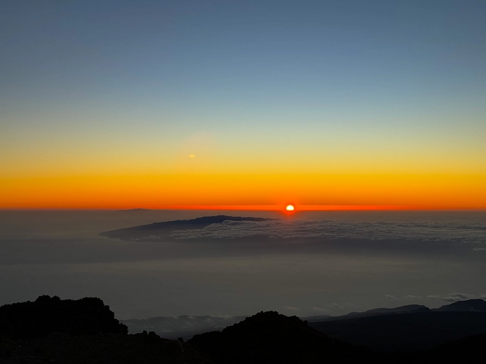
- Optional: If you arrive near sunset, the light over Pico Viejo and the crater walls can be very special — bring a headlamp for safety

Information
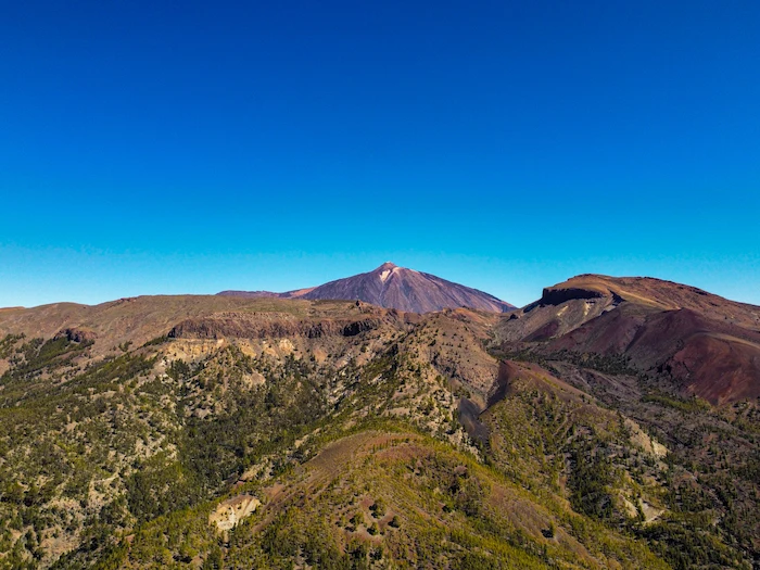
This trail follows the official PNT-09 route between Mirador de Las Narices del Teide, Pico Viejo, and the upper area of Teide. It’s a demanding high-altitude hike through black lava, pumice fields, and old volcanic vents. The landscape is raw and dramatic, with constant views of Pico Viejo’s huge crater and the volcanic cones known as Las Narices del Teide. The trail is long and exposed, so you need good preparation and stable weather.
NOTE: You must register on Tenerife ON before starting this hike for safety reasons.
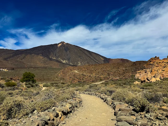
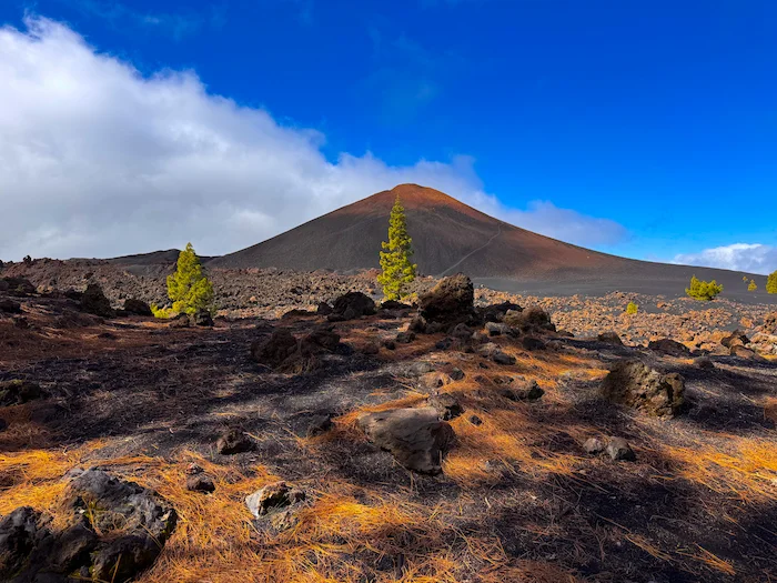
The trail begins at Mirador de Las Narices del Teide, right next to the information panel. The first section crosses the volcanic vents created during the 1798 eruption. These aligned craters produced the long dark lava flows that you’ll see on both sides of the path. The terrain is loose and dusty, but the trail is well marked and easy to follow.
From here, the path climbs steadily toward the base of Pico Viejo. This part is the roughest: a mix of black lava, sharp rocks, and old ash. You’ll walk directly over lava fields from Teide’s historic eruptions, with wide views over the southwest of the island and La Gomera on clear days.
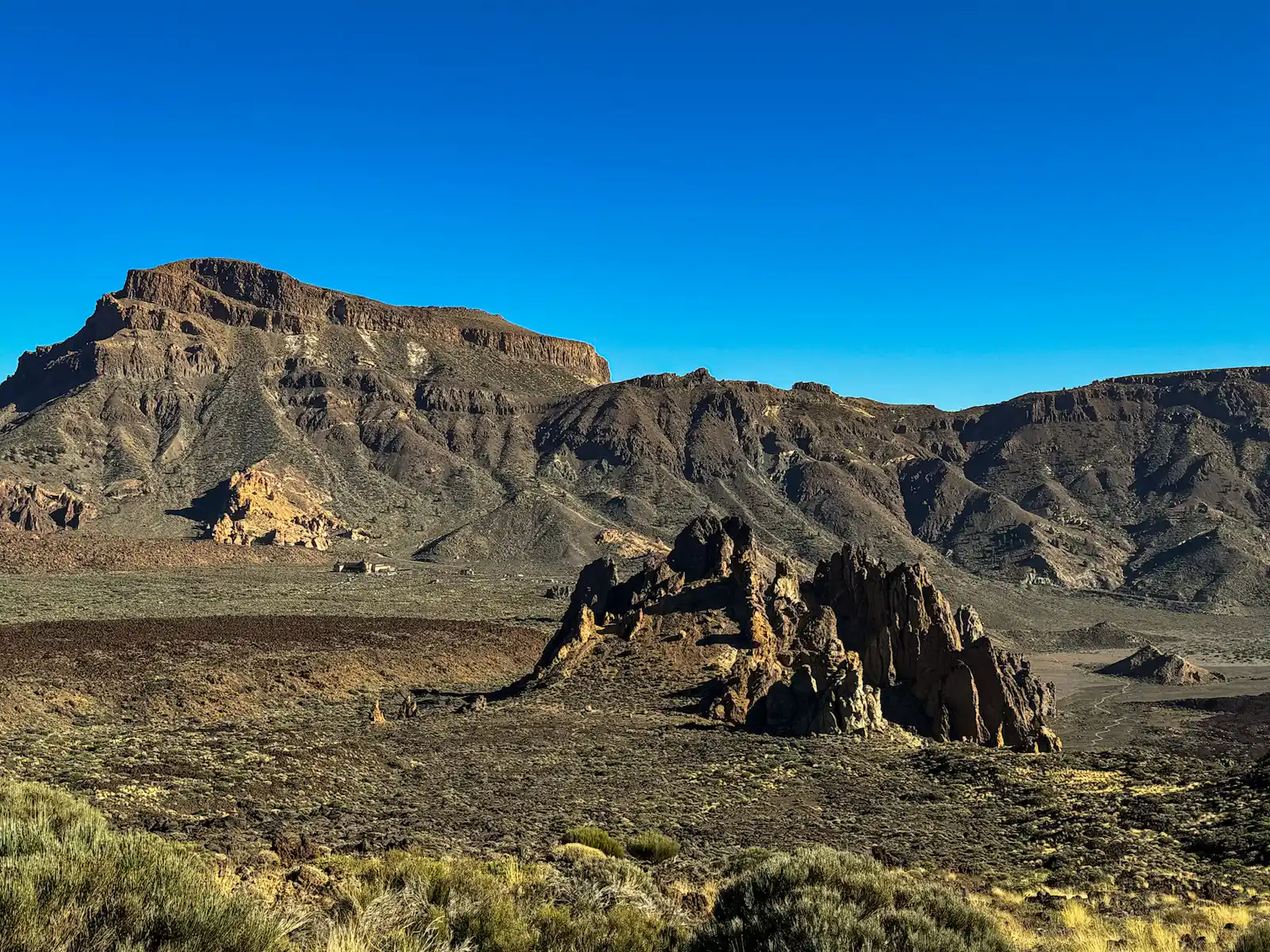
As you approach the 800-metre-wide crater of Pico Viejo, the landscape becomes more dramatic. The trail skirts the southern side of the crater and stays just under its rim at around 3,100 m. This is one of the most impressive areas of the route — a huge open amphitheatre of volcanic rock shaped by centuries of eruptions.
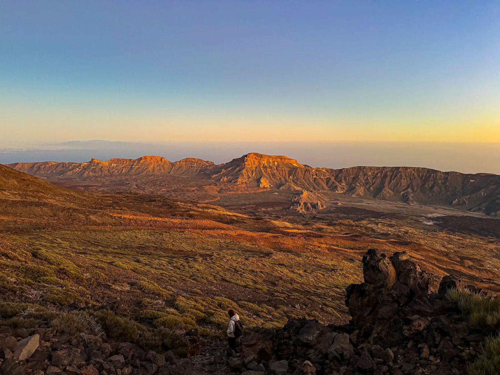
After passing the crater, you reach Degollada de Chahorra, where the dark lava changes suddenly into lighter pumice. Walking becomes smoother here, and you start to see the first signs of high-altitude vegetation, like retamas and the small Teide daisy during spring.
The final stretch follows Trail 12 toward La Rambleta (3,555 m). As you get closer, the smell of sulphur and occasional fumaroles remind you that Teide is still an active volcano. The views open toward the summit cone, and after the last steady climb, you reach the upper cable car station, where the route ends.
From here, most hikers take the cable car down to the base station.
If you arrive late in the afternoon, the light around Pico Viejo can be beautiful — but the weather changes quickly at this altitude, so plan accordingly.
Reverse Option:
You can also do this route in the opposite direction — taking the cable car up first and descending all the way to Mirador de Las Narices. This version is easier on the legs but still long and fully exposed.
Important:
There is no shade, no water, and no shelter along the route. Bring enough layers, sun protection, and plenty of water.
How to Get Here
By Car: Free lots are available at both the Teide Cable Car base station and Roques de García (near the Parador).
By Bus:Bus 342 from Costa Adeje or Bus 348 from Puerto de la Cruz
It stops at both the Cable Car station (start of the hike) and Parador de las Cañadas / Roques de García (end of the hike).
Discover Places Nearby


All the best places in one map – beaches, hikes, food, ocean pools, viewpoints, towns and more.
Save hours of searching and plan your trip in minutes.